Digging inside the mapped ordnance area
The City maps a former artillery ordnance area over most of Tierrasanta, and digging crews there follow "recognize, retreat, report".
Service area · City of San Diego
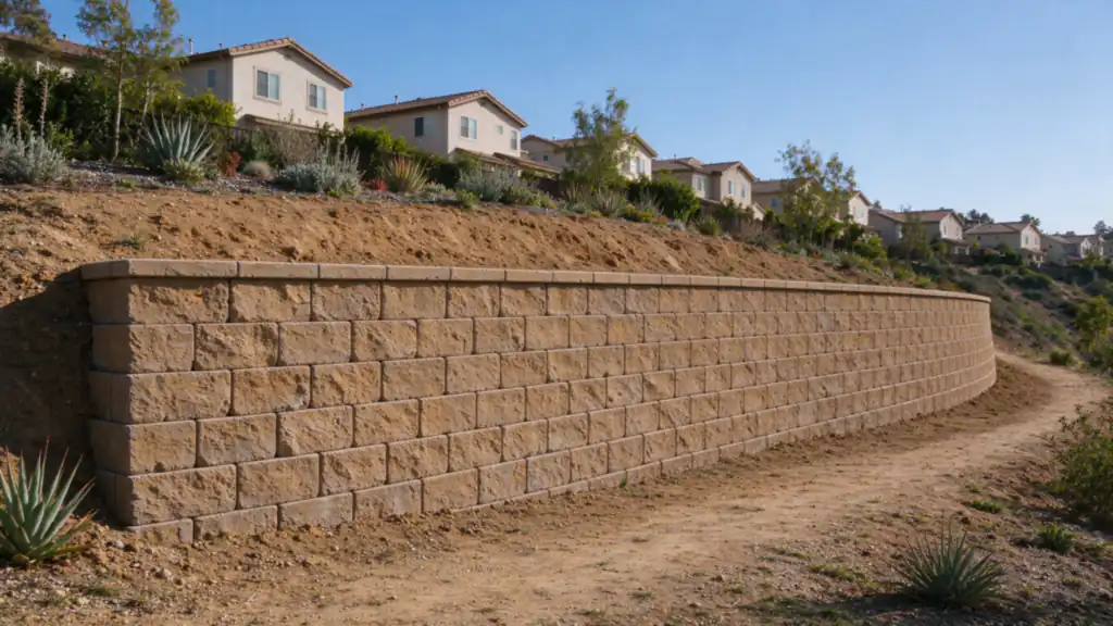
The City maps a former artillery ordnance area over most of Tierrasanta, and digging crews there follow "recognize, retreat, report".
Nearly 39% of the City's hazard sample here is slide-prone formation, where a wall over 6 feet or holding a surcharge needs a geotechnical report first.
Two thirds of USDA sample points sit on slopes of 15% or more, and most show swelling clay that rules out the City's standard wall drawings.
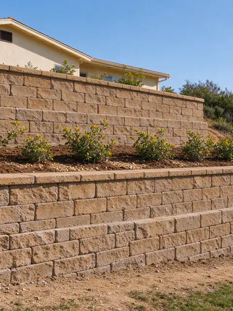
Hillside retaining walls in San Diego: terraced, canyon-rim and below-pool walls, planned around slope stability and soils reports.
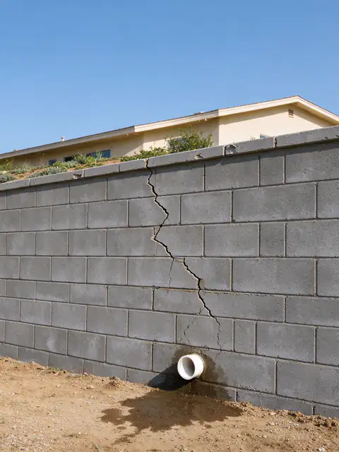
Retaining wall repair in San Diego for leaning, cracked and weeping walls, matched to the cause: drainage, footing or the load above.
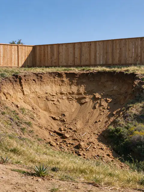
Slope repair in San Diego for slumped, eroded and storm-failed slopes: regrading, benching, buttress fills, erosion control and walls.
Last Updated:
In Tierrasanta, a City map of a former artillery ordnance area shapes how a retaining wall footing gets dug, before the soil or the slope even come into it. Batterline offers and manages retaining wall work in Tierrasanta, from repair of older walls to new hillside retaining walls. Building permits come from the City’s Development Services Department, and that map is read alongside the soil and geologic hazard maps before anything is designed.
The City’s Development Services regulatory map carries a polygon labeled as a former artillery ordnance area, and in a grid sample about 76% of the Tierrasanta planning area falls inside it. No other area this site covers comes close; the next is the neighboring Navajo area at about 1%. On a lot inside the mapped area, the crew digging the footing and drain trench follows “recognize, retreat, report”. So the first look at a lot confirms where it sits on that map.
The geologic hazard maps matter as much here as anywhere in the city. In a sample of the City’s Seismic Safety Study layer, 38.8% of Tierrasanta falls in slide-prone formations, the highest share among the areas sampled for this site, and 2.2% in confirmed or possible landslides. Where a lot is in a slide-prone category, a wall over 6 feet from the top of the footing, or a shorter wall holding a surcharge such as a driveway or a fence, needs a geotechnical report before it is designed (SDMC 145.1803). The engineer guide explains how that report feeds the design.
The soil adds its own pressure. A USDA soil survey sample puts moderate or higher shrink-swell at 68% of points, slopes of 15% or more at 65% and of 30% or more at a third, with bedrock within a meter at 40%. The common mapped units are Redding gravelly loam, the Diablo-Olivenhain complex and Friant rocky fine sandy loam on 30 to 70 percent slopes. The City’s standard wall drawings can’t be used on expansive soil or on sites with landslides or slope instability, so many Tierrasanta walls are engineered from the start. Where the slope itself is moving, slope repair comes before or with the wall.
About 83% of the yearly rain at both Lindbergh Field and El Cajon falls from November through March (NOAA climate normals), and a wall that drains poorly takes that water as pressure. Gravel and perforated pipe behind the wall, weep holes that stay open and an outlet that doesn’t dump water onto the slope below are the core of retaining wall drainage. The guide to a wall after heavy rain lists what to check.
Half the homes were built before 1980, with a median build year around 1980 (Census ACS), so a wall may be as old as the house behind it. A first visit measures length, exposed height and height from the top of the footing, records the wall type and any lean, bulging or cracks, and checks drains, irrigation, the load above, access and old permits or plans. Then the lot is placed on the ordnance, hazard and soil maps, which decide whether a soils report and an engineer come first. City inspections follow the footing, pre-grout, drainage-before-backfill and final sequence, plus any special inspections an engineered plan calls for. City open permit data (Development Permits approvals) lists 4 Tierrasanta projects with a building permit approval mentioning a retaining wall between January 5, 2024 and October 22, 2026. The permit guide and the cost guide cover the City steps and fees.
Planning a wall on a Tierrasanta slope? Get an Estimate.
Share the wall's length and height, what sits above it and how close it is to a canyon slope. The estimate notes the reports, permits and digging steps the lot is likely to need.
It changes the procedure. The City's Development Services map carries a former artillery ordnance area, and about 76% of a grid sample of Tierrasanta falls inside it. Inside that area, crews digging a footing or drain trench follow "recognize, retreat, report". Whether a lot is inside the mapped area is checked on the City map for the address.
When the wall's class and the lot's hazard category call for one. In slide-prone formations, which cover about 39% of the City's sample here, a wall over 6 feet from the top of the footing, or a shorter one holding a surcharge, needs a report (SDMC 145.1803).
It is a design factor on many lots. In a USDA soil survey sample, 68% of points show moderate or higher shrink-swell and 63% high. Clay that swells when wet adds pressure behind a wall, and the City's standard drawings exclude expansive soil, so a wall on clay is usually engineered with a full drain zone.
Tierrasanta is a community planning area of the City of San Diego, so building permits for retaining walls come from the City's Development Services Department. A permit is needed over 3 feet from the top of the footing, or at any height with a surcharge or backfill steeper than 1.5:1.
Under the City's current fee schedule, permit fees for one wall up to 50 feet run roughly $2,800 to $4,650, depending on standard or engineered design and height. Each additional 50 feet adds about $1,300 to $1,400.
Structural versus decorative walls, the narrow case the City's standard drawings cover, what a structural engineer and a geotechnical engineer each do, and what engineering adds to the budget.
Every trigger the City of San Diego and the County use, from the 3-foot rule and surcharge loads to engineering, soils reports, coastal permits, zoning heights, licensing, fees and inspections.
The signs worth looking for once a storm passes, how to look without putting anyone at risk, and why short bursts of San Diego rain are hard on walls built for a dry climate.
Typical San Diego-area ranges for each wall type, what sits inside the price, the permit fees the City and County publish, and three worked budgets.
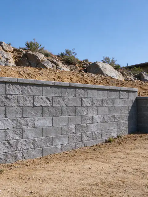
City of San Diego. Rocky slopes over shallow bedrock and slide-prone formations.
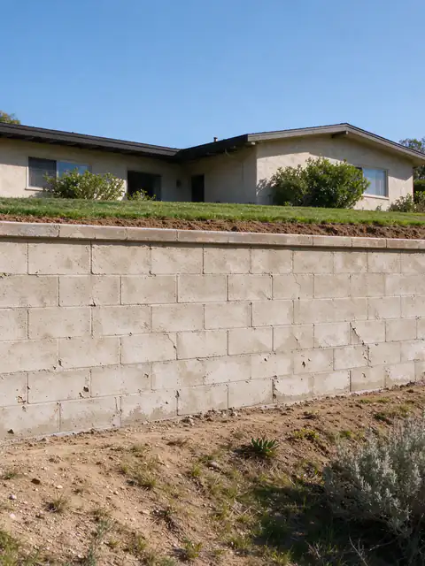
City of San Diego. Canyon-rim lots, slide-prone formations and mid-century walls.
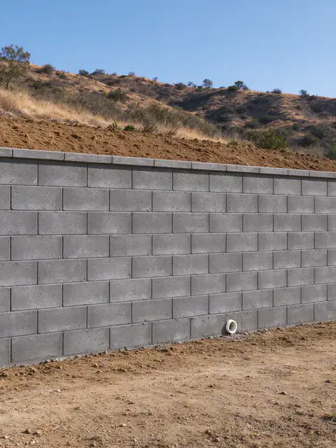
City of San Diego. Expansive clay over shallow bedrock on steep tract slopes.
Tell us what the wall is doing, how tall it is from the lowest visible point, what sits above it and your ZIP code. Photos of the face, the top and any drain outlets make the first conversation more useful.